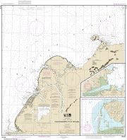
St. Michael Bay to / aux Gray Islands | CHS Chart 8049
Peut prendre jusqu'à 3 jours ouvrables pour expédier
COMMANDEZ-LA AUJOURD'HUI
$25.00
Spécifications
Format
CHS Chart
Presentation
Flat
Legend
Finish
Regular
Region
Atlantic
Dimensions
34" x 48"
Pages
1
Scale
1:500,000
Please note that map dimensions are sometimes rounded rounded. To obtain precise dimensions, please contact us.
Caractéristiques
Bathymetry
Navigation aids
Navigation hazards
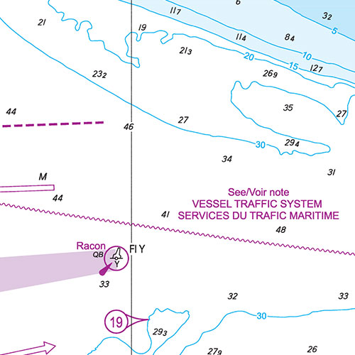
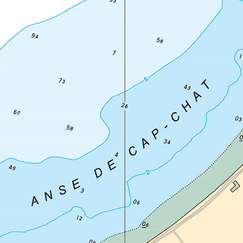
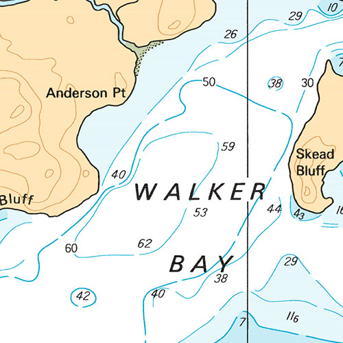
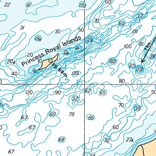
Description
St. Michael Bay to / aux Gray Islands | CHS Chart 8049. Printed on regular paper. Perfect for boating and fishing.
Carte officielle récente
Cette carte inclut les avis aux navigateurs les plus récents, est considérée comme une carte marine officielle et conforme aux dispositions du Règlement sur les cartes marines et les publications nautiques.
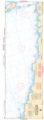
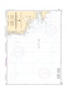
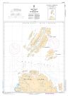
Exemples
Couverture
Pas certain quelles cartes vous devez commander? Planifiez un voyage et nous vous indiquerons celles dont vous aurez besoin.