Know where you are!
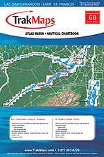
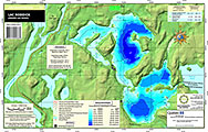
Grand Lac Saint-François
Ships TODAY or next business day with delivery 1-3 business days later for many locations
Includes
- Bathymétrie
- Aides à la navigation
- Entraves à la navigation
- Routes principales
- Lieux de pêche
- Services
- Marinas
- Terrains de camping
- Aires de pique-nique
- Piste cyclable
- Topographie en 3D
- Imprimé sur papier synthétique imperméable et indéchirable
ORDER IT TODAY
SAVE 10% on any order of $69+ with promo code VIP10.
Description
Carte individuelle de Grand Lac Saint-François : Chaudière-Appalache (Québec). Impression sur papier imperméable et indéchirable à une échelle de 1/58 000. Idéale pour pêche, plaisance et pêche blanche.
Sources
- Canadian Hydrographic Service
- Quebec Ministry of Energy and Natural Resources
- National Oceanic and Atmospheric Administration
- Natural Resources Canada
- Ontario Ministry of Natural Resources and Forestry
- National Geospatial-Intelligence Agency
- TrakMaps
This product does not contain data from all sources listed above. Other sources may also be used.
Specifications
| Produit # | 7 |
| Format | Carte individuelle |
| Présentation | Plat |
| Légendes | |
| Papier | Imperméable et indéchirable |
| Région | Chaudière-Appalache |
| Dimensions | 12" x 18" |
| Pages | 2 |
| Échelle | 1/58 000 |
| UPC | 838510000070 |
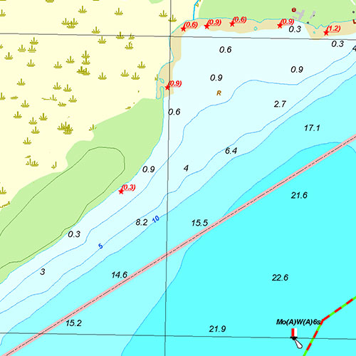
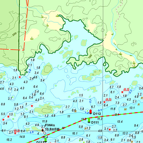
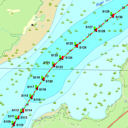
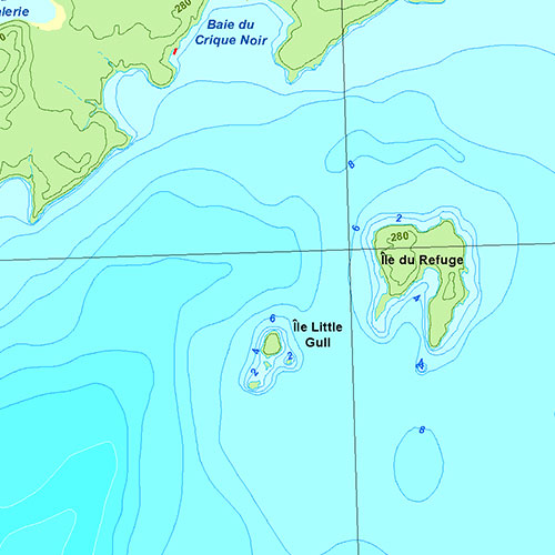
Above images are for demonstration purposes only.
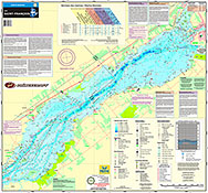
Coverage
Not sure which maps/charts to order? Plan a Trip and we'll let you know which ones you need.
The red rectangle in the map above is only to indicate the area covered. It does not represent the actual content of the product.
Find Other Maps & Charts
I am going to
As Featured In
Testimonials
We live for the outdoors
Our priority is to ensure you have the map you need to make your way around confidently and safely.
Our Partners
We work with a wide variety of associations, federations, government ministries and corporations to bring you the best products on the market.